There is a piece of land that is separated by a small stream that flows from the New River. The town of Red Ash came to call this land Red Ash Island.
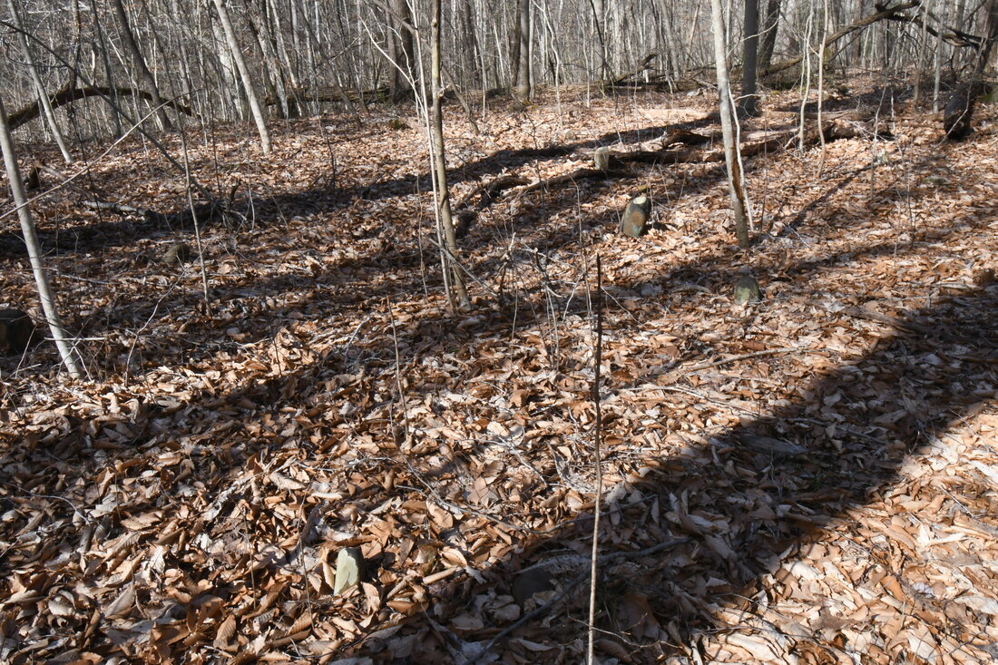
Parking at the Brooklyn-Southside Junction trailhead it took around an hour to reach the land they call the Island. The two mile hike wasn't in vain due to the remains of abandoned coal towns scattered though out the woodland floor. The Brooklyn-Southside Junction trail passes by the towns of Brooklyn and Red Ash before reaching the island.
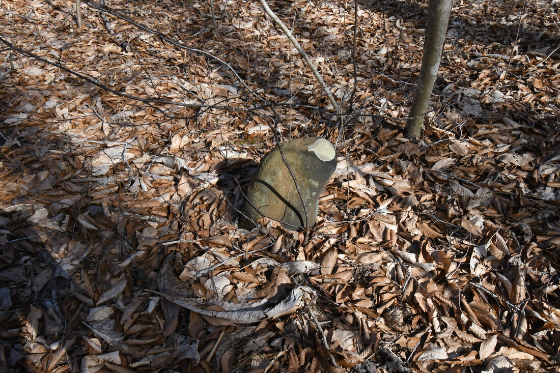
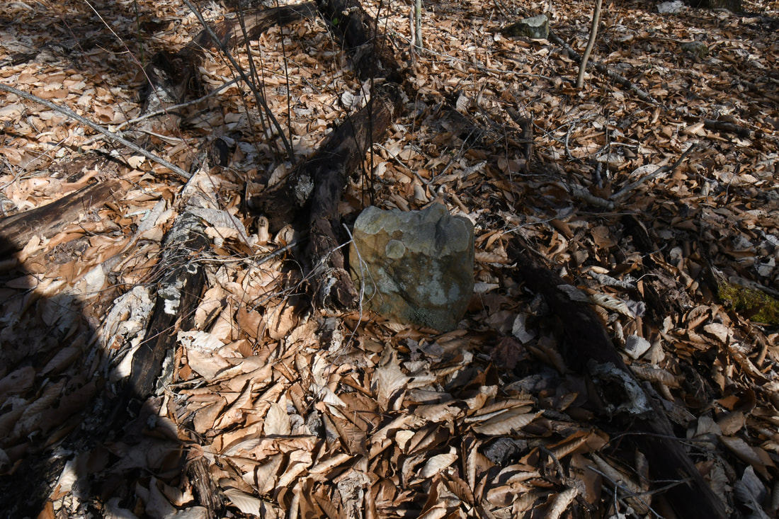
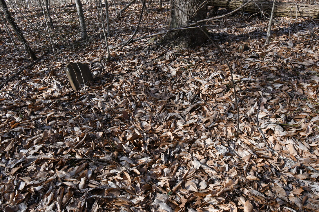
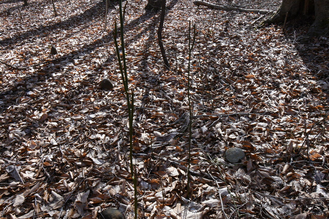
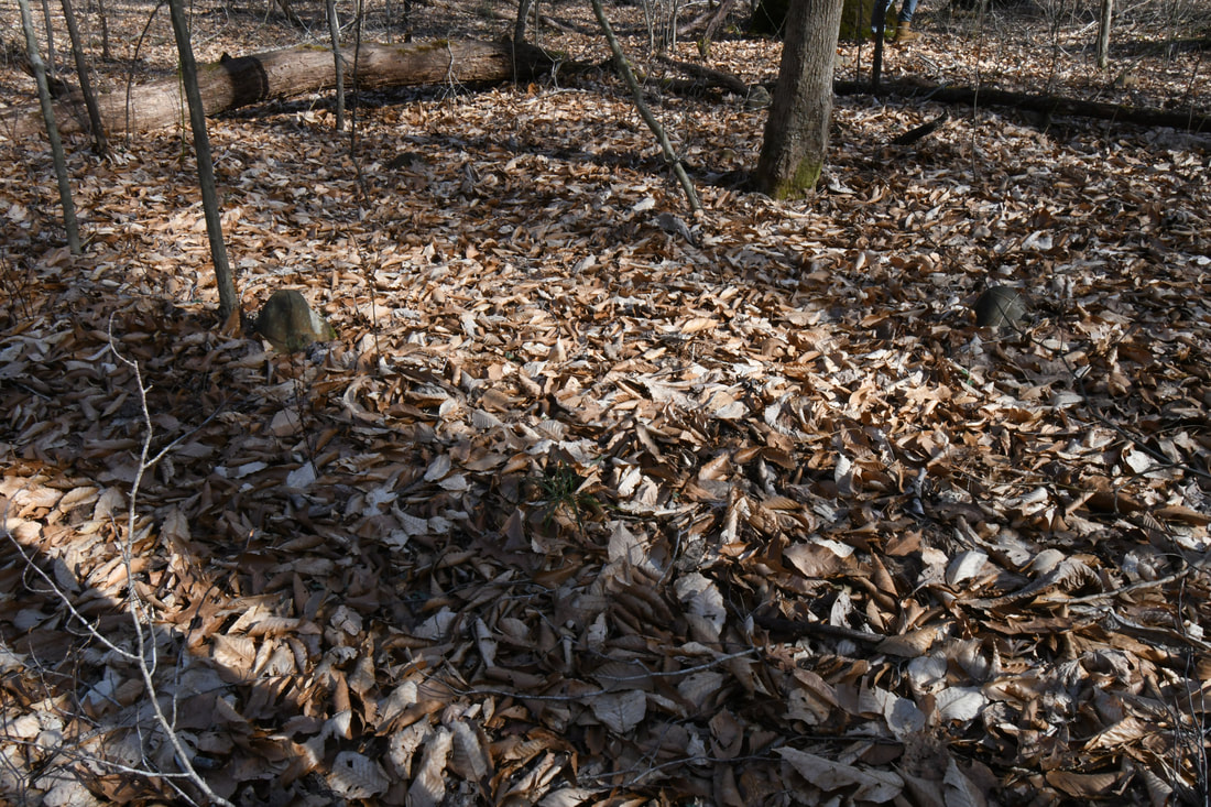
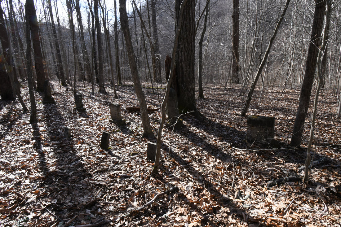
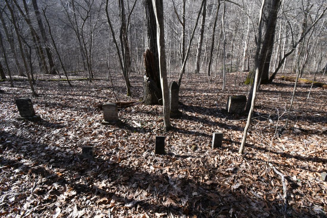
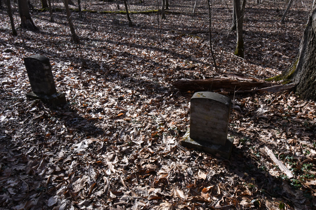
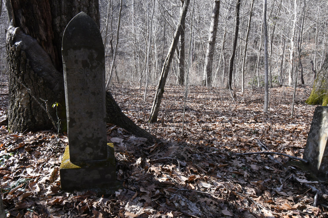
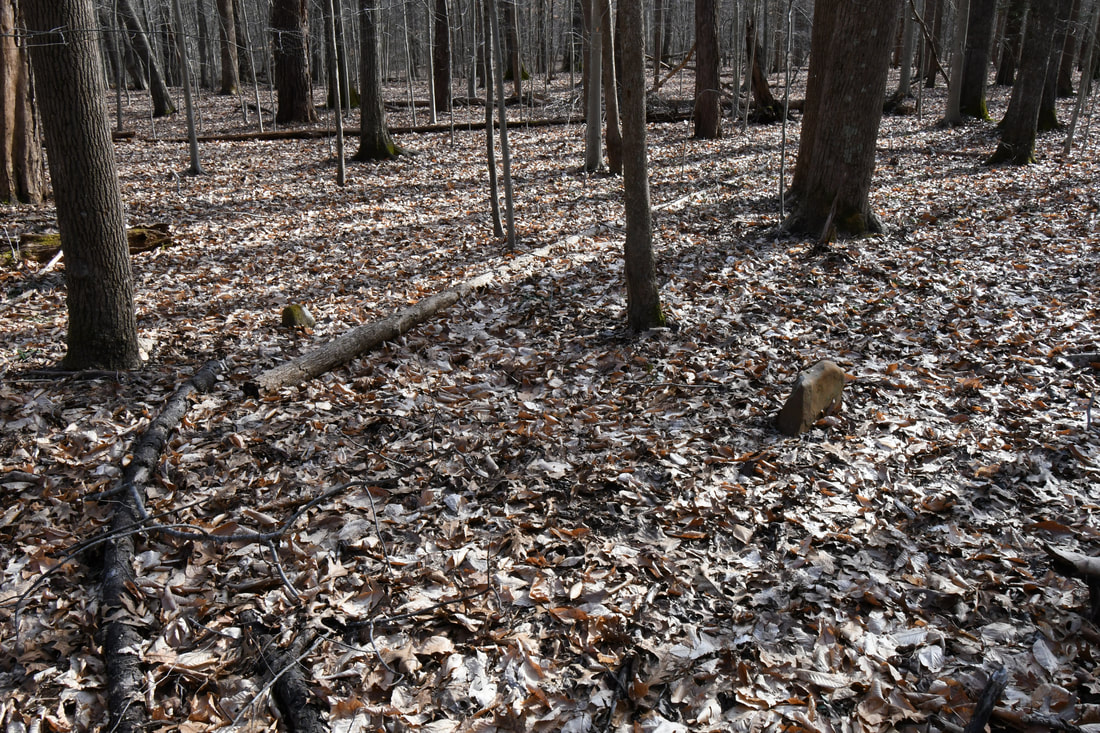
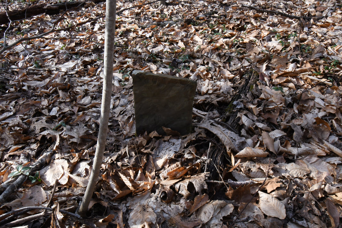
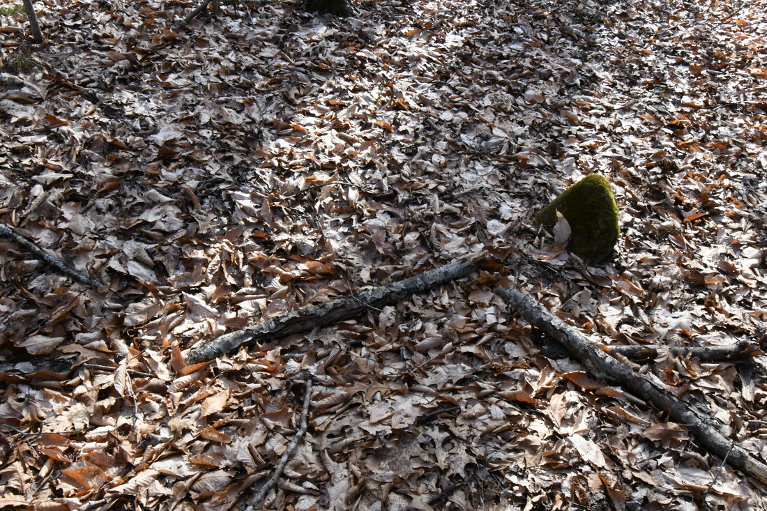
While hiking keep an eye out for the mouth of a small stream on the left hand side of the trail. Try and cross here. The stream only gets wider the further you go down the trail. Once across the water find a way to navigate the massive bolder field and onto drier land. The area here is swampy from the backflow of water from the New River. Look for a incline directly ahead and keep walking towards the highest part of the island. After climbing the hill start looking around for small river stones sticking up through the leaves of the forest floor. Each one of these stones belongs to a miner that lost their life in the mines. After taking in the amount of grave markers it comes to a realization of how dangerous the days of coal actually were. Buried here are the workers of the Red Ash, Rush Run, and Echo mine disasters.
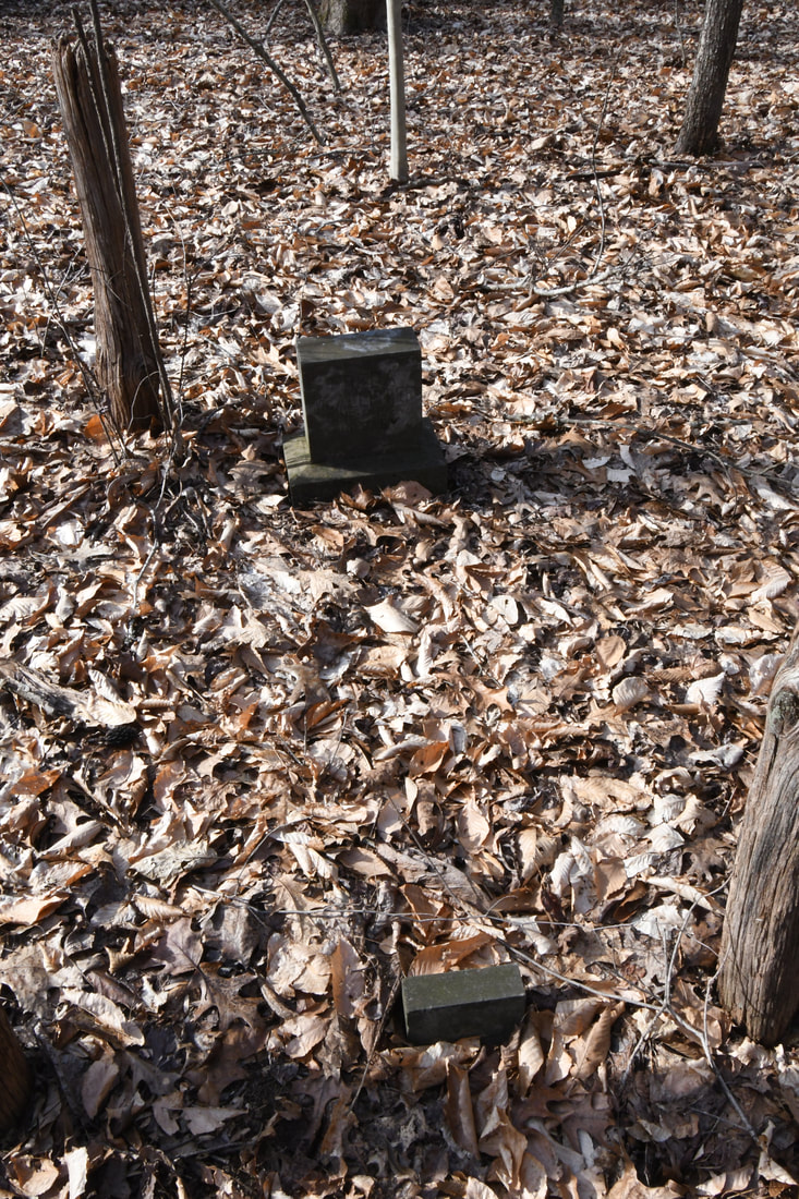
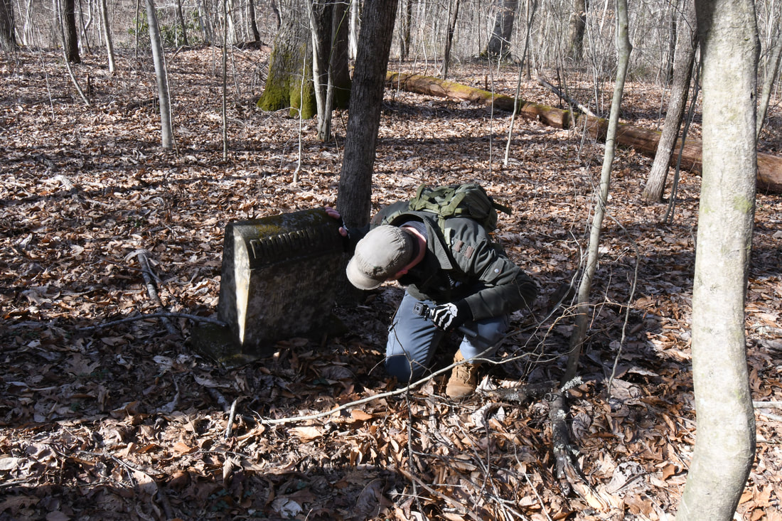
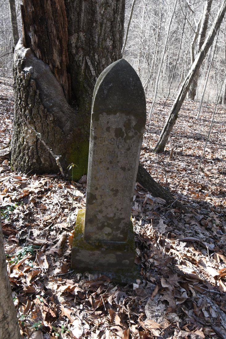
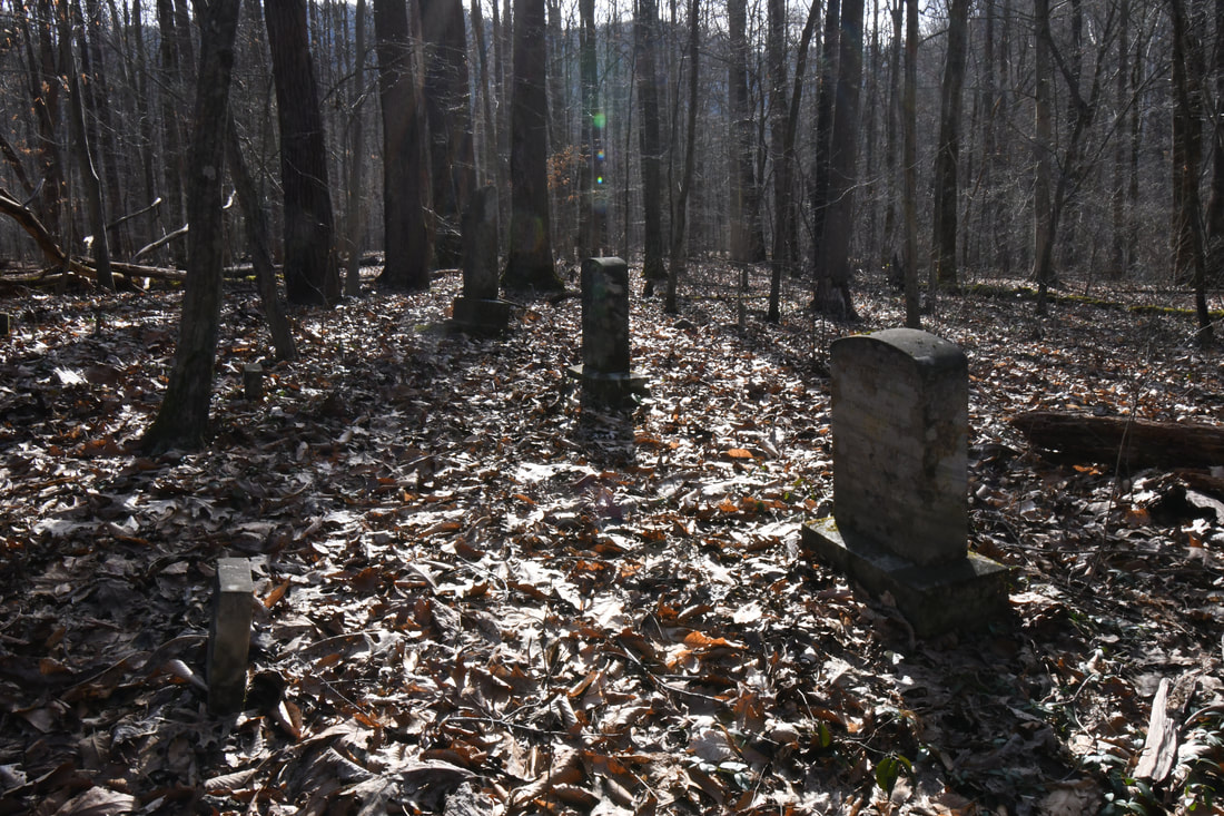
There are also five larger headstones with dates from the early 1900s. A husband, wife, and children that were victims of smallpox. This final resting place gives a harsh reality to how many people lost their lives trying to survive.
Parking at the Brooklyn-Southside Junction trailhead it took around an hour to reach the land they call the Island. The two mile hike wasn't in vain due to the remains of abandoned coal towns scattered though out the woodland floor. The Brooklyn-Southside Junction trail passes by the towns of Brooklyn and Red Ash before reaching the island.
While hiking keep an eye out for the mouth of a small stream on the left hand side of the trail. Try and cross here. The stream only gets wider the further you go down the trail. Once across the water find a way to navigate the massive bolder field and onto drier land. The area here is swampy from the backflow of water from the New River. Look for a incline directly ahead and keep walking towards the highest part of the island. After climbing the hill start looking around for small river stones sticking up through the leaves of the forest floor. Each one of these stones belongs to a miner that lost their life in the mines. After taking in the amount of grave markers it comes to a realization of how dangerous the days of coal actually were. Buried here are the workers of the Red Ash, Rush Run, and Echo mine disasters.
There are also five larger headstones with dates from the early 1900s. A husband, wife, and children that were victims of smallpox. This final resting place gives a harsh reality to how many people lost their lives trying to survive.